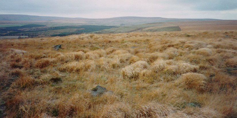
I’m sorry to say this site is a ruin. Only for the very keen enthusiast.
OS Map Ref: SD716159
Access: Take the footpath from the A666 to the Cheetham Close hill and a short ascent to the trig point. Ruins visible from here.
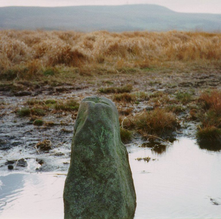
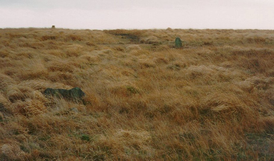
Just one small stone remains standing.
On a NE-SW line were a ring cairn and stone circle 18m apart. The ring cairn (SW) was 22m in diameter. To the NE a circle of 7 stones, the tallest 1.5m high at the SE. This had an outlier 35m to the SE.
Apparently, in the 19th century a tenant farmer deliberately destroyed some of the stones
to discourage trespassers.
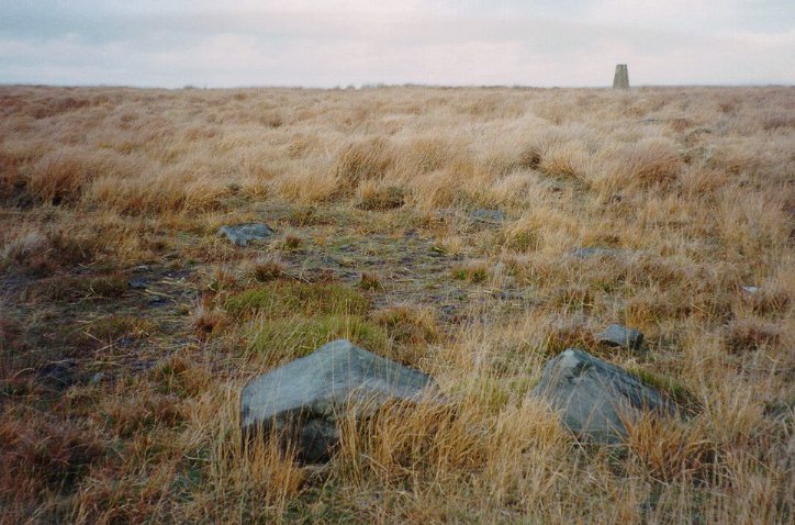
The obelisk on the skyline is the trig point.